
 «Санкт Петербург.Наводнение 2006» на Яндекс.Фотках
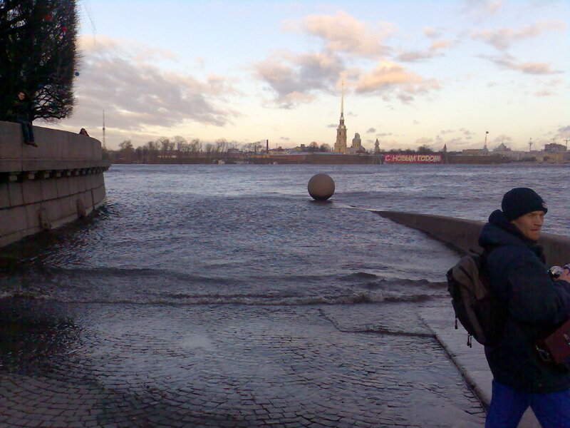
St. Petersburg is a splendid city, specially if you want to visit it from June to August. I like it more in that period. If you want to be there in autumn or winter, you have to think about floods too. Because it's a part of the life of this city.
And today began the first flood of 2008. The 306-th in it's history and it's the 8-th time that the flood begins in February. Today water is 188 cm higher as normally. Highest water in February was in 1822 and arrived till 2,5 m over the normal measure. 2 times in the history the water was higher then 3 m and once it arrived till 4 m 10 cm. (news.mail.ru)
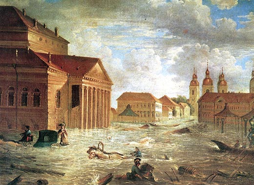 Floods take place in this area because it's very low-lying, the downtown is only some cm over sea-level. "Long waves" come from the Gulf of Finland and enter in Neva-river and than western winds block the normal flow of the water.
They spoke about a construction of a Flood Protection Barrier for some years (2002-2003) but that project was abandoned.
Sources:
Saint-Petersburg.com
St Petersburg Flood Protection Barrier
Map from the site Escape Travel


0 comments:
Post a Comment